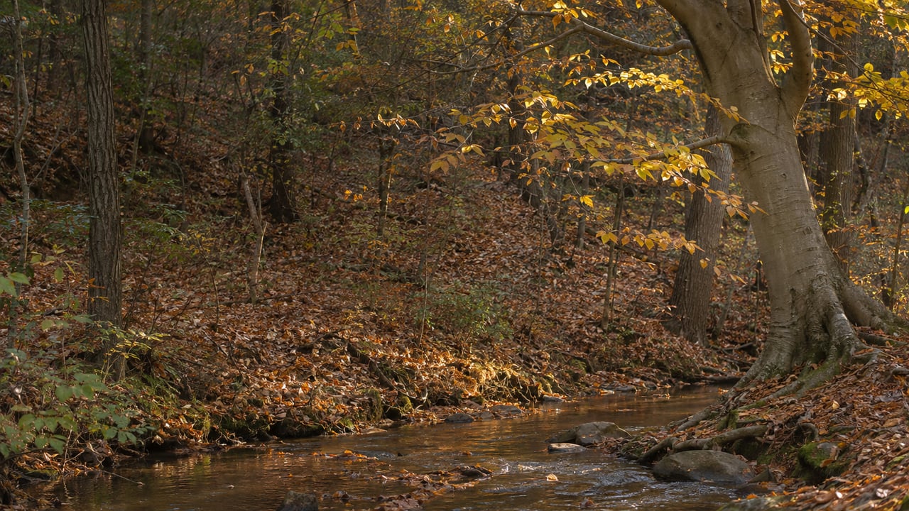
An old steel streetcar bridge crosses the Foundry Branch valley at the southern end of Glover-Archbold Park. It is fenced off, and from Canal Road it reads as a dark line high in the trees. It was built in 1896 for the Washington and Great Falls Electric Railway, and trolleys ran over it on the Georgetown to Cabin John line from 1897 until 1960. The National Park Service calls it the last remaining streetcar bridge in the District of Columbia.
After years of rulings, appeals and budget fights, the bridge's future is settled. On July 15, the Park Service released the final agreement for its removal. The signed version, dated August 25, went up on the project's planning page on October 14. For anyone who walks south from the Foxhall Road side toward the Potomac, the decision doesn't change the walk yet. The trail under the trestle reopens only after a chain of steps that the agreement spells out in order, starting with a 30-day review period and a permit.
How the Argument Ended
The bridge belongs to WMATA, which acquired it and the land under it in 1997 through a court-directed transfer of D.C. Transit assets. A WMATA engineering study in 2014 found it structurally unsound. The Park Service learned of that finding in 2016 and closed the area beneath the bridge. TheHoe.org reported at the time that the Canal Road entrance at the trail's south end closed on August 8, 2016, because of concern about falling debris.
The years since went to deciding whether the bridge could be saved. Ghosts of DC's October history of the trestle lays out the sequence.
| Year | What happened |
|---|---|
| 2018 | DC's Historic Preservation Review Board ruled that WMATA's application to raze the trestle should be denied |
| January 2020 | DDOT finished a feasibility study and declined to rehabilitate the bridge, citing cost and constructability; its engineers' preferred rebuild was roughly $2.75 million |
| September 23, 2020 | The Mayor's Agent for Historic Preservation cleared the raze permit |
| September 15, 2022 | The DC Court of Appeals vacated that approval and sent it back |
| May 10, 2023 | The Mayor's Agent cleared the permit again |
| FY 2024 / FY 2025 | The DC budget set aside $250,000 to plan the bridge's future, and the final FY 2025 budget cut and redirected all of it |
| July 15, 2026 | The Park Service finalized the agreement for removal |
During those years, the neighborhood associations in the Palisades, Foxhall Village and Georgetown backed turning the trestle into a walking and biking bridge. Georgetown University students and neighbors organized to save it. Brian Joyner, superintendent of Rock Creek Park, said in the Park Service's July 15 news release that "removing the bridge is the only responsible path forward to protect visitors."
The Order of Operations
The agreement is a Memorandum of Agreement under Section 106 of the National Historic Preservation Act. It was written in response to WMATA's application for a Special Use Permit to use federal parkland to stage equipment and take the bridge down. Signing it was a separate step from issuing the permit. The signed MOA puts the trail's reopening at the end of this sequence:
- The Park Service opens a 30-day period for the signatories and consulting parties to review and comment on the proposed landscape restoration.
- After that window closes, the Park Service finalizes its responses to the comments and issues WMATA the Special Use Permit.
- WMATA demolishes the trestle.
- Within six months after all demolition work is complete, WMATA finishes the initial landscape restoration. That work includes reopening the Glover-Archbold Trail and selectively removing and replanting vegetation in the project area.
- A five-year vegetation maintenance period then begins as a condition of the permit.
The reopening is tied to the end of demolition, and the agreement gives no calendar date for it. The six-month window starts when the bridge is gone, and the bridge stays up until WMATA has its permit and takes it down. The Park Service's alerts page, last updated November 6, still lists the southern end of the Glover-Archbold Trail under an emergency closure "until further notice" because of aerial hazards.
What the Agreement Keeps
Removal doesn't mean the site will show no trace of the bridge. The MOA lists mitigation measures, and several of them are things a walker will see once the trail reopens.
- The footers. WMATA has to preserve and protect the low concrete trestle footers in place during demolition. They will stay in the valley and mark where the bridge stood.
- Two interpretive panels. These go at an accessible location along Canal Road agreed on by the parties.
- A permanent record. Before the trestle is altered, it must be documented to Historic American Engineering Record Level II standards, with a historical narrative, drawings and large-format photographs.
- Replanting. The site will be cleared and replanted with native vegetation.
The restoration also has a design goal. The MOA says it should return the trestle site to a natural condition while keeping the views along the open central valley corridor, so that Glover-Archbold continues to work as a greenway from upper Northwest Washington down to the Potomac River. The Park Service also plans a Cultural Landscape Report for the park to identify its historic views and vistas.
The Walk Until Then
The trail under the trestle is the north-south historic trail through Glover-Archbold Park. It is a different route from the informal Palisades Trolley Trail, which follows the old trolley right-of-way from Galena Place to Foxhall Road. In its 2019 feasibility study, DDOT placed the trestle about 400 feet east of that trail's Foxhall Road end. It described Glover-Archbold and the Foundry Branch Valley as a steep barrier between Foxhall and Georgetown, with no continuous path linking them. The two routes almost meet at the bridge. The trestle once carried trolleys across that gap, and it is also what now closes the park trail below.
The current Park Service alert routes walkers around the closure on Foxhall Road, 44th Street NW and P Street NW. The Park Service's detailed detour page, last updated in 2022, describes the northbound route as running from Foxhall Road to 45th Street, then to P Street, then along the alley behind the houses. On that route the trail starts again behind the second house, down an embankment. The signs posted at the closure show the current route.
There is more work in the park this season. DC Water is doing sewer and manhole investigations and surveys throughout Glover-Archbold Park on weekdays from 8 a.m. to 5 p.m., with completion estimated for spring 2027. Weekday walks may pass crews that have nothing to do with the trestle.
Seeing It From Canal Road
Until demolition, the bridge is still standing. When it comes down, the low concrete footers will mark the place where, as Ghosts of DC puts it, "the Glen Echo trolley once crossed the valley." Its advice: "Go see it from Canal Road while it's still there."
After demolition, the Canal Road location will hold the two interpretive panels, and the trail beneath it will reopen once the restoration work is done. For now, the southern Glover-Archbold Trail is closed until further notice, the detour runs along Foxhall Road, 44th Street and P Street, and the bridge still crosses the valley.
Lauren follows changes to the parks, trails and streets around Berkley and Foxhall closely, because they affect daily life near home as much as anything on a listing sheet. If you'd like to talk through how a project like this one fits into your plans, Lauren Pillsbury is glad to help. Schedule a consultation.